Young Geographers

Oct
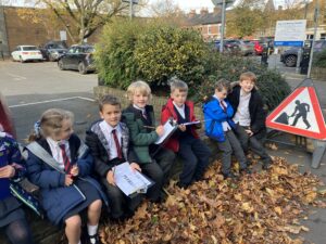
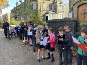
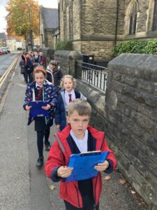
Over the past fortnight, Owls and Starlings have been Young Geographers who have finished their unit of work by carrying out fieldwork in our local area. Fieldwork needs to start with a good enquiry question. We decided to link it to our recent History Unit: ‘Local Victorian Harrogate’ by asking the following:
Looking at the buildings in our local area, what evidence is there of change?
We decided to walk a circular route so that we would start and finish at schoolturn left out of school and walk to the end of Belford Road. We gathered evidence to answer our question. There were many examples of change in our area.
Most of the buildings in our locality were old – Victorian buildings. Some buildings were much newer, for example the Magistrates Court, Tower Street carpark, shop frontages.  Our school building was a hospital in Victorian times whereas now it is a school. The hospital wards are now classrooms! What were once family homes in Victorian times are now offices and businesses – either on the ground floor only or on all floors.  Some houses have not changed their use. They remain family homes, for example, the Alms Houses opposite school and the row of town houses on West Park.  Currently being converted to Harrogate’s first mosque, the building on the corner of Tower Street and Belford Road was originally built as housing.  The residential use didn’t last long, and in 1873 the cottages were converted into Harrogate’s first cottage hospital, which stayed there for ten years before moving in 1883 into a new purpose-built building next door, which is now St. Peter’s School.
We really enjoyed getting out and about to explore our locality. We realised how much our local area has changed.

Posted In Curriculum