Key Stage 2 Geography. How has Harrogate changed over time?
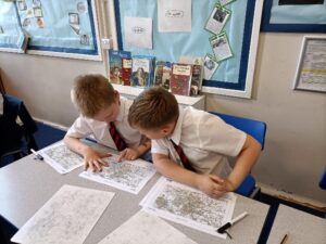
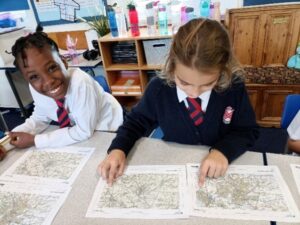
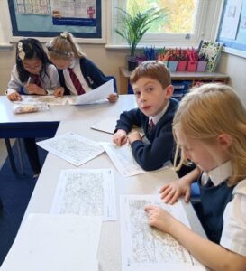
Children in Herons class have been comparing historical and modern maps of Harrogate – looking at how the town has grown and changed since the Victorian times.
We noticed that Bilton and Starbeck were once separate villages but now are joined to Harrogate town.
We also recognised that the Stray is protected land, so it has not changed that much whereas other areas have been developed with new housing.
There are many more map symbols now – mainly because many features we observe today were not around in the Victorian era.
Later, we plan on carrying out fieldwork in the streets around our school to investigate whether the old parts of Harrogate have remained the same or changed. We will gather data and make conclusions from what we find.


Posted In Curriculum

St Peters CE Primary School,
Belford Road,
Harrogate,
North Yorkshire,
HG1 1JA
Tel: 01423 569684 •
Email: admin@stpeters.ycway.uk
Part of Yorkshire Causeway Schools Trust, a charitable company limited by guarantee registered in England and Wales with company number 07663935.
Registered Office: St. Aidan’s Church of England High School, Oatlands Drive, Harrogate, North Yorkshire, HG2 8JR.
Disclaimer | Privacy Policy | Cookie Policy
Parents / Carers may request a paper copy of any document or piece of information contained within this website free of charge. If you would like to make such a request please contact the school office and we will arrange for a copy to be sent out to you.